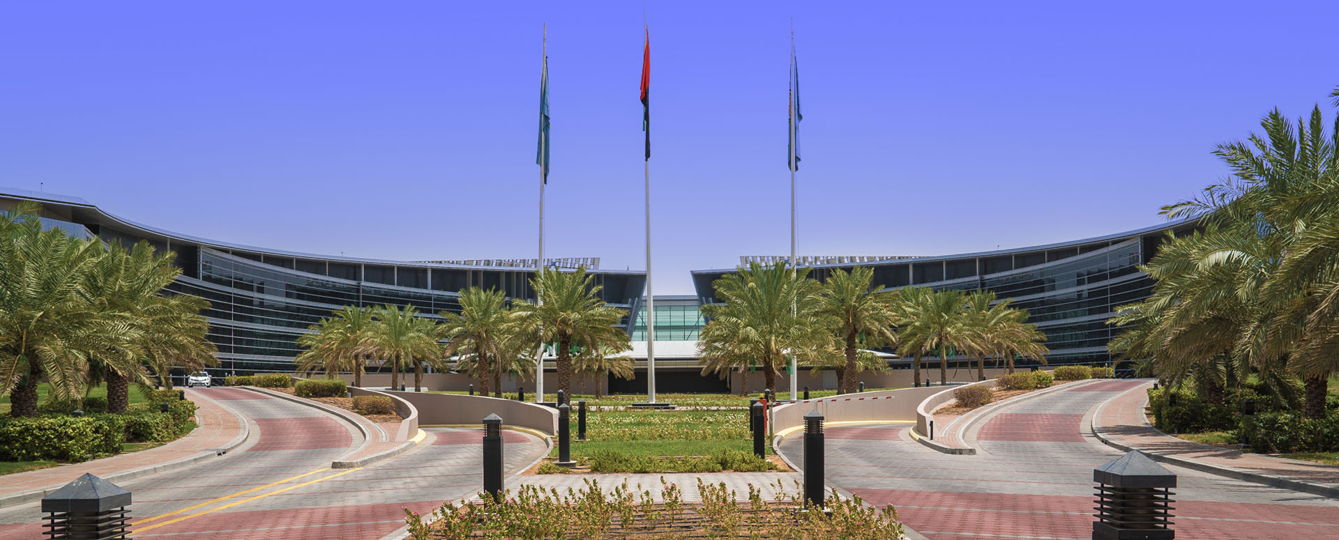
United Arab Emirates University
Master of Science in Remote Sensing and Geographic Information Systems
The Remote Sensing and Geographic Information Systems Master of Science Program at UAE University is the first of its kind in the region. It is designed to provide you with the theoretical background and practical skills to start or advance your career in remote sensing and GIS. Our curriculum has been specifically developed to suit students from diverse academic backgrounds and professional occupations. No prior remote sensing or GIS experience is required to excel in the program. (Total credit hours is 30 for theses and 34 for no-theses).
